History & Digital Innovation
This is a Digital School Mapping System thats aims to aid new or upcoming students on locating the rooms, floors, building and facilities that Nicolites Montessori School has. This Websites does not only help students but also new teachers or visitors on locating rooms.
The main objective of this website is to design and develop a Digital School Mapping System for Facility Guidance in Nicolites Montessori School to provide an efficient and navigation tool for students, staff, parents, and visitors on the comples layout of nicolites.
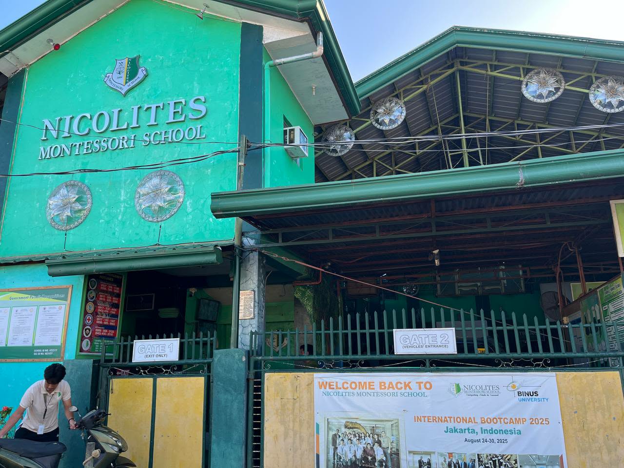
This website is the development of a Digital School Mapping System for Facility Guidance specifically designed for Nicolites Montessori School but can also be implemeted to other schools as well as infrastractures. The primary goal of the system is to help students, teachers, staff, and visitors easily navigate the school campus by providing clear and accessible digital guidance to various facilities such as classrooms, offices, laboratories, libraries, and other important areas within the school. The design of the school mapping system includes a thorough assessment of the current layout of the school facilities and the challenges experienced by users when finding specific locations on campus. Data gathering will involve collecting accurate information about building locations, room names, and facility functions. Based on the gathered data, the researchers will design and develop a digital mapping system that presents the school layout in a simple, interactive, and user-friendly manner. The study also covers system testing and basic evaluation to determine its functionality, usability, and effectiveness as a facility guidance tool. This website is limited to Nicolites Montessori School only, and the digital mapping system will be developed exclusively for use within the school premises. The system focuses solely on facility guidance and navigation and does not include advanced features such as real-time location tracking, GPS-based navigation, emergency alert, or integration with third-party mapping applications. In addition,the system will be based on the ease of use and clarity of information and will not cover long-term system performance, maintenance, or large-scale deployment. to provide a practical and helpful solution that improves accessibility and convenience within the school environment. At the same time, it serves as a foundation for further school-aiding software.